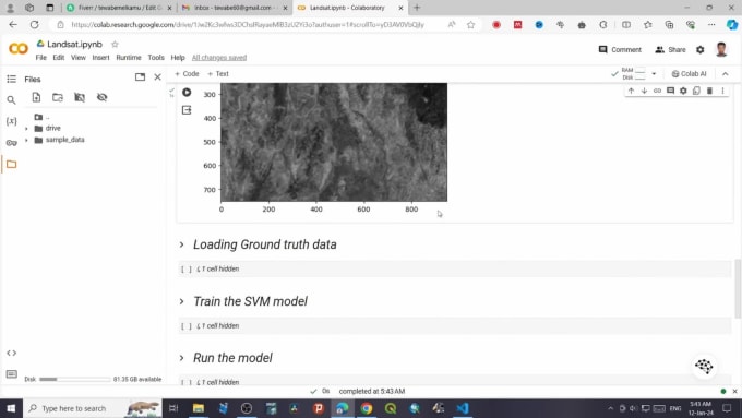
I will create and train machine learning models for image analysis
WELCOME TO MY GIG!
Hi there, I'm Tewabe, Geospatial sciem expert with 4 years of experience in satellite image analysis. I can help you with any project that involves creating and training machine-learning models for satellite image analysis.
I am experienced in the following methods of machine learning:
Linear Regression
Linear Classification
Support Vector Machines
Logistic Regression
Decision Trees
K-Nearest Neighbors
Random Forest
Bayesian Regression
Convolutional Neural Networks (CNN)
Artificial neural networks (ANN)
I use the following tools to perform your tasks:
Python
Tensorflow
NumPy
Keras
Scikit-learn
OpenCV
matplotlib
pandas
Please get in touch with me before placing orders.
Visit Gig

